Getting Started
Welcome. This page helps you understand the website, interpret the icons, and get started quickly.
How does it work?
Navigation
-
Home Introduction and latest updates. You can return to Home by clicking the website logo.
-
DATA The data section is divided into "PC on the map" and "PC in the catalogue", both providing dataset information.
-
Catalogue The catalogue lists data per region, including version, acquisition year, responsible agency, density (points/m2), XY and vertical accuracy, and dataroom links.
-
Map Interactive geographic view of the datasets, where you can click countries and regions for details.
-
Add Pointclouds Opens a Microsoft Form to submit new dataset details. The website team can contact you to follow up.
Icon Guide
-
 SLS Static Laser Scanning datasets and products.
 -
 MLS Mobile Laser Scanning datasets and products.
 -
 ALS Airborne Laser Scanning datasets and products.
 -
 DM Dense matching techniques.
How does it work?
-
Filter Narrow the map by region, resolution, or project type.
-
Explore Select a region on the map, catalogue or search bar, to view metadata and location where to get the data.
-
Dataroom Click the dataroom link to go directly to the original data site of the point cloud dataset.
Point cloud dialects
This section explains the different dialects found on this website. Reference: EUROSDR. (2026). Official Publication No. 78. https://www.eurosdr.net/publications/official-publication-no-78-2026
Spatial distribution
Point density is defined by all participants as points per square metre (ppsm). Only the Norwegian general point cloud specification defines point spacing as the primary quality indicator, derived from point density in ppsm. Summarising statistics from different acquisition campaigns include minimum, maximum, and average values for both low and high point-density categories. In practice, point density is often lower in rural or densely vegetated areas than in urban environments, which affects both the average values and the low/high range.
Absolute accuracy
Absolute accuracy of point clouds and elevation models is used to determine average, minimum, and maximum values across Europe. Accuracy is defined on this website as planimetric (XY) and altimetric (Z) components, and the share of datasets that meet or exceed average values is reported. Across Europe the research showed, three reporting categories are common: (1) both planimetric and altimetric values, (2) only altimetric values, or (3) only RMSE. For harmonised quality descriptions, both planimetric and altimetric accuracy should be reported, rather than a single value.
Relative accuracy
Relative accuracy is a key quality metric, but its definition varies between point cloud quality documents. In practice, it is often used to compare two datasets of the same area, including strip overlap checks, relative RMSE comparisons, and internal consistency checks after adjustment. Because it is intended to detect local spatial differences, relative accuracy is usually assessed with stricter requirements than absolute accuracy.
Classifications
Classification labels differ across datasets. Only about 48% of the considered point clouds include explicit classification label information. Responsible agencies typically apply either ASPRS-based classes or locally defined classification schemes.
Reference systems
Cross-border harmonisation is still limited because quality definitions are managed independently by each authority. A shared reference framework with clearly defined parameters should be agreed before combining datasets from different regions. For each datasets the EPSG are given per point cloud datset
Frequently Asked Questions (FAQ)
Click on a question to see the answer.
What is a point cloud-derived elevation model?
A point cloud-derived digital elevation model is a commonly available dataset, typically created by downsampling an acquired point cloud that is not publicly accessible in full resolution. The data is often provided as a raster file rather than as LAZ or COPC.LAZ.
What is a point cloud?
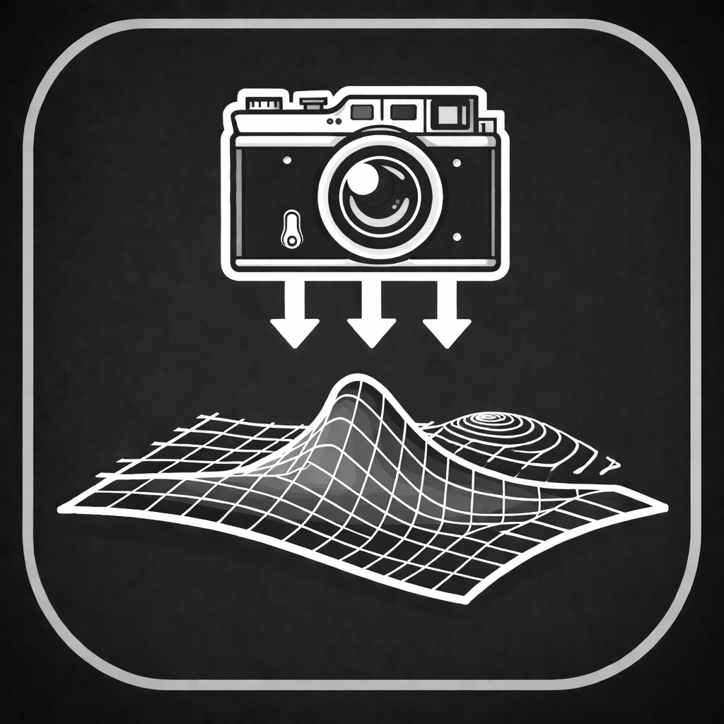
A point cloud is a collection of points in 3D space, often captured with LiDAR or photogrammetry. Each point can include attributes such as elevation, intensity, and classification.
Which file formats are point clouds available on local data portals?
Common formats include LAS/LAZ and COPC. On each dataset page, you can see which variants are available.
Why are there no point cloud datasets hosted on this website?
This portal serves as a gateway to find point cloud datasets in Europe and gives users a starting point for creating cross-border datasets.
Why do I sometimes see multiple years?
Some regions have repeated acquisitions. Use filters or tabs to switch between years when available.
Help & Contact
Do you have questions, see any mistakes or want to add point cloud dataset information? Contact our team or fill in the form.